Desktop Mapping
I have data to visualize, and I am working on my own computer.
-

GRASS GIS
GRASS GIS, commonly referred to as GRASS (Geographic Resources Analysis Support … -


gvSIG Desktop
gvSIG is a powerful, user-friendly, interoperable GIS used by thousands o… -

Marble
Versatile, yet easy to use. Use Marble similar to a desktop globe; pan around an… -


QGIS Desktop
QGIS is the leading Free and Open Source Desktop GIS. It allows you to create, e… -


Giswater
An intelligent technology, free and open source for the integral water cycle man… -

Bezitopo
A land surveying CAD package under development
-

HOT Tasking Manager
The purpose of the Tasking Manager is to divide a large mapping project into sma… -
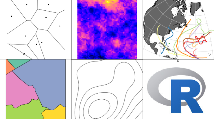
R-Spatial
A set of R packages for handling and analysing spatial data, built upon OSGeo co…
