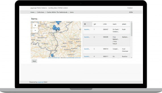
OSGeo is pleased to welcome pygeoapi to our foundation:
- pygeoapi is an python implementation of the new OGC API suite of standards for geospatial data and services
- install a full implementation using pip (or build straight from git repository)
- easy to deploy with a provided Docker image
- provides a plugin framework to connect to new data sources, add output formats or implement new processes and workflows
OSGeo Community projects are reviewed by the incubation committee and project team to review projects are open source, geospatial, and supports community participation.

