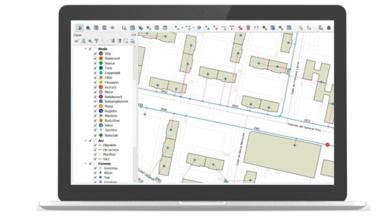
Giswater is an open-source tool for the integral water cycle management namely water supply, sewerage or flood risks. It was especially developed and designed for city councils, supramunicipal administrations, water and sewerage services concessionary companies and hydraulic professionals.
Giswater acts as a driver that connects different hydraulic analysis tools and spatial database through which you have access from any geographic information system (GIS). It is compatible with all the elements that compose a water supply or sewerage management system like EPANET, EPA SWMM, GIS, WMS or SCADA and therefore it can be incorporated to the informatic ecosystem of any entity or company dedicated to water management and multiply its benefits.
It is also possible to integrate business management tools like ERP, CRM or Business Intelligence and also corporative mobile devices. It is developed in Python and PL-SQL and is compatible with any spatial database, as well as with all GIS systems.


